Kokoda Memorial Arch
Description
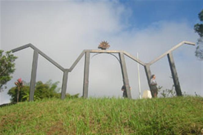
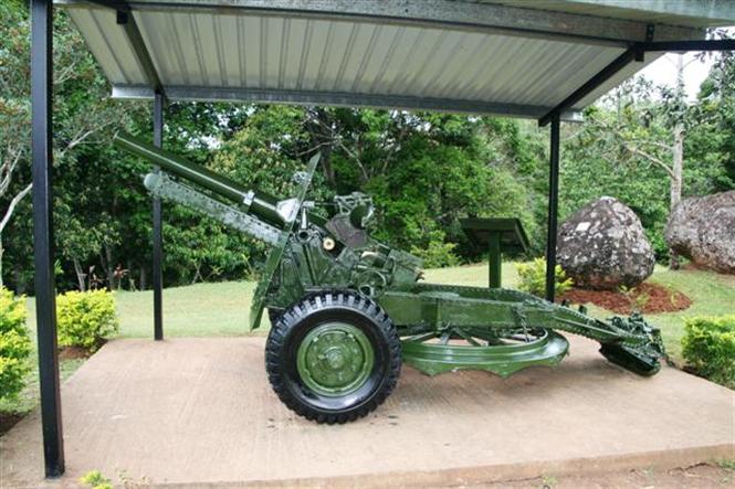
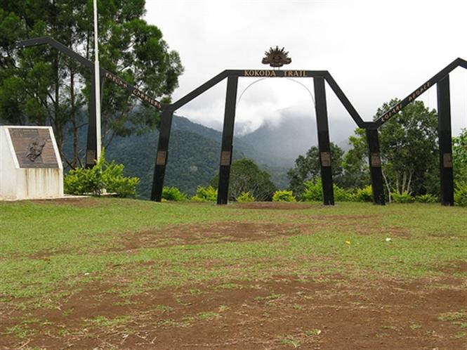
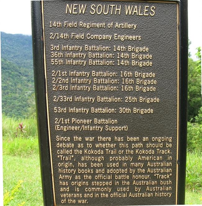
Known as Owers' Corner Memorial: it is an arch supported by six uprights that represent the six states of the Australian Commonwealth and also represent the connection between the people of New Guinea and Australia. The shape of the arch corresponds to the mountain range beyond. Nearby stands a mounted brass plaque, by Dr Ross Bastiaan, and a 25 Pounder Gun.
History
The Kokoda Trail (as it is now known) in Papua New Guinea was the scene of ferocious jungle battles during the Pacific War in 1942. The Japanese were heading south towards Papua New Guinea’s capital Port Moresby, while the Australians were desperately trying to halt their advance. Fresh troops came up the trail from Port Moresby and fought the Japanese along the length of the Kokoda Trail as the Japanese relentlessly pushed through the jungle towards the capital.
The Australian troops made strong stands at various spots. They dug in at Isurava and held the Japanese at bay in a fierce battle until the sheer numbers of Japanese troops overwhelmed them and they fell back to the next battle site. After Isurava, the Australian troops tried to halt the Japanese advance at Brigade Hill, or Butchers Hill as it was known after the battle.
The Japanese push ended at Ioribaiwa, their supply line being stretched over almost 96 kilometres of rugged terrain, and they retreated. The Australian diggers chased them over the trail all the way to the north coast, effectively clearing them from the country.
Construction Information
The arch was built in 1999-2000 by Kokoda Memorial Foundation, a small but dedicated group of volunteers with support from RAAF. The plaque nearby was designed by Dr Ross Bastiaan. He also sculpted of all the bronze plaques along the Kokoda Trail.
Location
Papua New Guinea.
Owers' Corner is in Central Province, 50 kms east of Port Moresby. The Kokoda Trail begins here and then crosses rugged and isolated terrain, which is only passable on foot, to the village of Kokoda in Oro Province.


